
Autonomous Police Drones Create a Fourth Amendment Vacuum
After the Supreme Court's Chatrie ruling, the legality of autonomous police drone surveillance remains unsettled. The FAA's Part 108 rule lacks warrant or data-retention requirements, leaving municipalities with over 1,000 deployed DFR programs exposed to Section 1983 liability.
- Jurisdiction
- us-federal
- Court
- Supreme Court of the United States
- Judge
- Kagan
- AI tool named
- Flock Alpha
- Ruling date
- Jun 29, 2026
- Source document
- View primary court order ↗
- Last verified
- Jul 27, 2026
Lex Machina Review is an independent risk-tracking and reference resource. Nothing on this site is legal advice, and using it does not create an attorney-client relationship. Every record is reviewed against primary sources but may not reflect the most current status of a matter — always verify directly against the cited court order, rule text, or a licensed attorney before relying on it.
Companion explanation — secondary to the source document above
The privacy and legal concerns around Flock Safety’s autonomous police drones now reaching city councils and civil-rights files start with a mismatch: police departments are scaling drone-as-first-responder programs under an aviation-safety waiver regime at the same moment the Supreme Court has made physical-location data harder to treat as ordinary investigative exhaust. On June 29, 2026, the Court decided Chatrie in a 6-3 opinion by Justice Kagan, holding that government collection of cell-site location data is a Fourth Amendment search, including where the quantity of data is small rather than encyclopedic.[1] Chatrie did not decide a drone case. It did not address airborne ALPR. It did, however, tighten the law around warrantless collection of precise movement data.
That matters because the deployment record is no longer speculative. EFF’s July 2026 FOIA analysis reports more than 1,000 agencies with FAA Part 91 beyond-visual-line-of-sight waivers as of February 2026, and says more waivers were issued between April 2025 and February 2026 than in the prior seven years combined; the earlier period, 2018 through April 2025, accounted for 976 waivers.[2] Meanwhile, the FAA’s Part 108 rulemaking was at OIRA as of July 10, 2026, and the materials identified for this analysis do not include a warrant requirement, a data-retention rule, or a dispatch threshold.[3]
This is a legal-risk record, not legal advice. The relevant sources point in different directions: Chatrie is a Supreme Court location-data decision; the FAA materials concern airspace and operational safety; EFF and ACLU materials are advocacy sources whose factual records can be useful but whose legal conclusions should be treated as attributed arguments; and Long Lake Township v. Maxon is a lower-court bridge, not a nationwide settlement of drone doctrine. The question is not whether a drone flight has federal aviation permission. The question is whether a city can survive the constitutional consequences of using that permission to build warrantless, persistent, precise location surveillance.
The waiver proves the flight, not the search
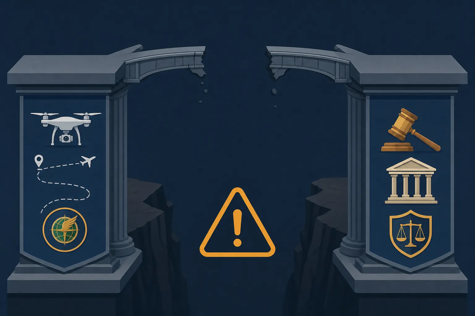
The first municipal mistake is administrative. A Part 91 BVLOS waiver answers an aviation question: under what conditions may the aircraft operate beyond visual line of sight? A future Part 108 rule may regularize more of that operational universe. Neither supplies the missing Fourth Amendment predicates for a police surveillance program. The identified FAA materials include no warrant requirement, no minimum or maximum retention rule for police data, and no rule requiring a department to reserve drone launch for emergencies or serious offenses.[3]
That distinction is not technical housekeeping. In a later civil-rights case, a city will want to say it acted within a federal regulatory scheme. The plaintiff will answer that the scheme governs flight safety, not warrantless searches. On the present record, the plaintiff has the cleaner argument. FAA compliance may help show the aircraft was lawfully operated in navigable airspace. It does not explain why police could collect, query, retain, and aggregate location evidence without judicial process.
The scale data makes notice harder to deny. More than 1,000 agencies had obtained Part 91 BVLOS waivers by February 2026, and the waiver surge after April 2025 was sharp enough that EFF described it as exceeding the previous seven years combined.[2] A municipality adopting a drone-as-first-responder program in Q3 2026 is therefore not experimenting in an obscure corner of aviation law. It is joining a visible wave of police infrastructure after a Supreme Court decision on location privacy and while a federal drone rule is still in executive review.
What Flock Alpha adds to the constitutional problem
Flock Alpha is important here less as a vendor story than as a description of the surveillance product courts may eventually have to classify. EFF’s analysis of Flock materials and related filings identifies claims or references to airborne ALPR from 2,000 feet, about 0.38 miles, at 60 mph; thermal capability; cell-site simulator references; and multi-drone operations.[2] Those features matter because they move the case away from a single officer briefly observing what anyone below could see.
Airborne ALPR changes what is being collected. A patrol officer’s glance at a plate is fleeting unless the officer writes it down and connects it to other observations. A drone platform that reads plates from altitude, dispatches rapidly, and ties detections to time and place is producing movement evidence. Thermal functionality adds another layer because it is aimed at information that may not be visible to the naked eye. Cell-site simulator references require care: the available source materials support treating them as vendor-related claims or references, not as proof that every deployment uses such tools. But a procurement file that includes those capabilities will not help a city later portray the system as a modest aerial camera.
There are public-safety arguments for this model. Faster arrival, better situational awareness, and avoiding unnecessary officer exposure are not trivial municipal interests. They may matter in a reasonableness analysis, and they will matter politically. They do not fill the policy memo that should say when the drone may launch, whether a warrant is required for targeted tracking, how long raw and derived data may be held, who may search it, and what happens when the first dispatch reason evaporates.
The procurement context is also noisy. TechTimes reported Flock’s $8.4 billion valuation, Aerodome acquisition, and Alpha deployment in July 2026, but those details are secondary-market and vendor-growth context rather than independent Fourth Amendment analysis.[4] ACLU materials, likewise, have criticized Flock’s credibility in city-council representations; that is relevant to procurement diligence and municipal notice, but it does not by itself decide whether a particular search was unconstitutional.[5]
Chatrie is not a drone case. Its pressure still reaches drone data.
The careful version of the argument begins with the limit: Chatrie addressed cell-site location information, not drone footage, ALPR hits, thermal imagery, or autonomous dispatch logs.[1] A defendant municipality will press that distinction. CSLI is generated by phones interacting with cellular infrastructure. Drone data is collected by a government-operated or government-directed aircraft looking down from the air. The mechanisms differ.
But Fourth Amendment analysis does not stop at collection mechanism. Chatrie’s force lies in its treatment of physical-location data as capable of revealing private movement even when the government does not seize a person, enter a home, or install a device on property.[1] If a drone platform records where a vehicle was, when it moved, which route it took, and how often it appeared near homes, workplaces, clinics, religious sites, protests, or private meetings, the constitutional question begins to resemble the location-data problem the Court has just elevated.
The older aerial-surveillance cases complicate the path. The familiar line running through California v. Ciraolo, Florida v. Riley, Kyllo v. United States, and United States v. Jones has long forced courts to distinguish between what can be seen from lawful public airspace, what technology reveals about the home, and what prolonged tracking does to expectations of privacy. Brookings’ earlier drone analysis remains useful as an orientation to that doctrinal line, though not as a description of 2026 drone capabilities.[6]
The reason those older cases do not end the inquiry is that autonomous police drones are not simply manned aircraft with smaller rotors. The legal significance of a police helicopter passing overhead is different from an AI-dispatched system that can launch repeatedly, read plates from altitude, coordinate multiple drones, and preserve searchable movement records. The city will characterize the first event as observation from lawful airspace. The plaintiff will characterize the second as automated location surveillance.
Long Lake is the bridge, not the destination
Long Lake Township v. Maxon supplies the lower-court warning. EPIC’s case summary describes a federal court holding that AI-targeted, low-altitude drone surveillance was a Fourth Amendment search under Kyllo, treating that kind of surveillance as categorically different from ordinary manned-aircraft observation.[7] The holding is not a Supreme Court rule for every drone program. It is still enough to defeat the easy municipal sentence: drones are aircraft, aircraft may observe from the air, therefore no warrant problem exists.
Long Lake’s importance is conceptual. It recognizes that the constitutional object is not merely the aircraft’s altitude or the officer’s vantage point. It is the technological capacity of the surveillance and the nature of the information obtained. That is where Chatrie and autonomous drone programs begin to converge. Chatrie concerns location records generated through cellular infrastructure; Long Lake concerns drone surveillance; Flock Alpha-style claims concern aerial identification and tracking at scale. A court need not pretend those are identical to see that they occupy the same legal pressure zone.
The harder cases will not involve a drone dispatched to an active shooting or a fire. They will involve repeated flights over ordinary neighborhoods, plate reads tied to old investigations, thermal use near homes, after-the-fact searches of stored detections, or a drone launch justified by one event that becomes evidence collection for another. The record that matters then may be less dramatic than the footage: the missing warrant policy, the open-ended retention schedule, the vendor-access clause, the undefined dispatch threshold.
The state-law backstop is uneven
Federal uncertainty might be less dangerous if state law supplied a consistent warrant floor. The available tracker data does not show that. EFF and ACLU identify 16 states with warrant statutes for drone surveillance, leaving 34 without such statutes.[8] That split is not merely a civil-liberties talking point. It changes the municipal file. In some jurisdictions, counsel can begin with a statutory warrant rule. In most, the city is thrown back onto department policy, procurement terms, and constitutional litigation risk.
A state warrant statute also does not answer every operational question. It may not define retention for ALPR-derived data. It may not address multi-drone coordination. It may not speak clearly to thermal use, cell-site simulator integration, or downstream sharing. But a city with no statutory backstop and no internal rules has a much more exposed posture after Chatrie than a city that can show a written warrant path, narrow emergency exceptions, deletion rules, and audit logs.
How the Section 1983 case is likely to be framed
A plaintiff challenging a drone-as-first-responder program will likely plead the search in layers. The first layer is the collection: the drone recorded physical location, plate data, imagery, heat signatures, or other identifiers without a warrant. The second is aggregation: the system preserved or connected discrete observations into a movement history. The third is municipal responsibility: the surveillance occurred under an adopted program, procurement decision, dispatch practice, or retained-data policy rather than as a one-off officer error.
The strongest complaint will avoid exaggeration. It will not need to say every drone flight is unconstitutional. It will say the city operated a system designed to collect precise location evidence without a warrant requirement, without retention limits, and without a dispatch threshold tied to exigency or serious crime. It will then attach what municipal defense files often hate most: the waiver approval, the vendor deck, the city-council packet, the policy silence, and the logs showing how often the system was used for matters far below the emergency rationale used to sell it.
The municipality has answers, but not all of them reach the constitutional issue. It can argue FAA compliance. It can argue public visibility from airspace. It can argue short duration, emergency need, minimization, or lack of individualized targeting. It can distinguish Chatrie as a cell-site case and Long Lake as low-altitude property surveillance. Those are real defenses. The problem is that none of them becomes a safe harbor merely because the FAA allowed the aircraft to fly.
The best municipal defense will therefore be factual and policy-specific: a narrow launch rule, a warrant requirement for targeted tracking or historical searches, short retention, clear deletion, access controls, and proof that emergency exceptions are actually exceptional. The worst defense will be a stack of aviation approvals offered as if they were Fourth Amendment rulings.
Part 108 will not cure the constitutional vacuum by existing
The pending Part 108 rule may matter enormously to drone deployment. It may reduce the need for individualized waivers, normalize BVLOS operations, and make drone-as-first-responder programs easier to operate across jurisdictions. But the identified rulemaking posture does not include the ingredients that would make it a Fourth Amendment shield: no warrant requirement, no retention limit, and no dispatch threshold.[3]
That is why the Part 108 gap is more than a regulatory footnote. If federal aviation law makes autonomous police drone operations easier while privacy law remains scattered across Chatrie, older aerial cases, state statutes, and local policy, municipalities inherit the ambiguity. Vendors may sell operational compliance. Police may receive aviation authorization. City lawyers will be asked, later, why no one treated precise aerial location surveillance as a search problem after the Supreme Court had just said physical-location data collection was a search.
The defensible stopping point is narrow but significant. Chatrie has not decided drone ALPR. It has not rewritten Ciraolo or Riley. It has not held that every autonomous drone flight requires a warrant. But after Chatrie, a municipality operating a DFR program without warrant policies, retention rules, and dispatch thresholds is relying on a regulatory framework that does not answer the constitutional question. Pretending that autonomous aerial location surveillance sits outside the warrant-search problem is no longer a low-risk position.
References
- United States v. Chatrie. Supreme Court of the United States. June 29, 2026.
- Hundreds of Drone-as-First-Responder Programs Could Soon Be Launched Across the Country. Electronic Frontier Foundation. July 2026.
- FAA Part 108 Rulemaking Docket. Federal Aviation Administration / Office of Information and Regulatory Affairs. July 10, 2026.
- Autonomous Police Drones Reach 1,000 Agencies. TechTimes. July 24, 2026.
- Flock Safety Credibility Lost. American Civil Liberties Union. July 2026.
- Will Drones Outflank the Fourth Amendment?. Brookings. 2012.
- Vehicle Fingerprinting Through Pervasive Camera Surveillance Likely Violates Fourth Amendment. Electronic Privacy Information Center.
- State Legislative Tracker. Electronic Frontier Foundation / American Civil Liberties Union.
Related records
Tool profile
Browse tool evaluations →Governing regulation
Browse the obligations tracker →Preventive workflow
Browse verification workflows →
Report a correction or tip
Spotted an outdated figure, a misstated fact, or a ruling this case record should reflect? Public comments are disabled for this content given the professional cost of a misreported case outcome, penalty amount, or rule text — use the structured correction channel instead.
Report a correction or tip for this record →